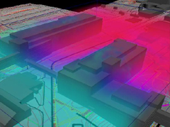
Product Ideation & Design Virtual Prototyping
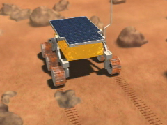
I use 3D visualization to explore ideas, communicate concepts, and create rapid virtual prototypes. This efficient design approach allows for low-cost exploratory development to occur and provides a means of obtaining participatory product feedback from stakeholders during proof-of-concept research studies. Requirements for hardware industrial designs can be vetted before costly physical models are produced.
XR Concept Design Exploration for a voxel-based browser UI framework
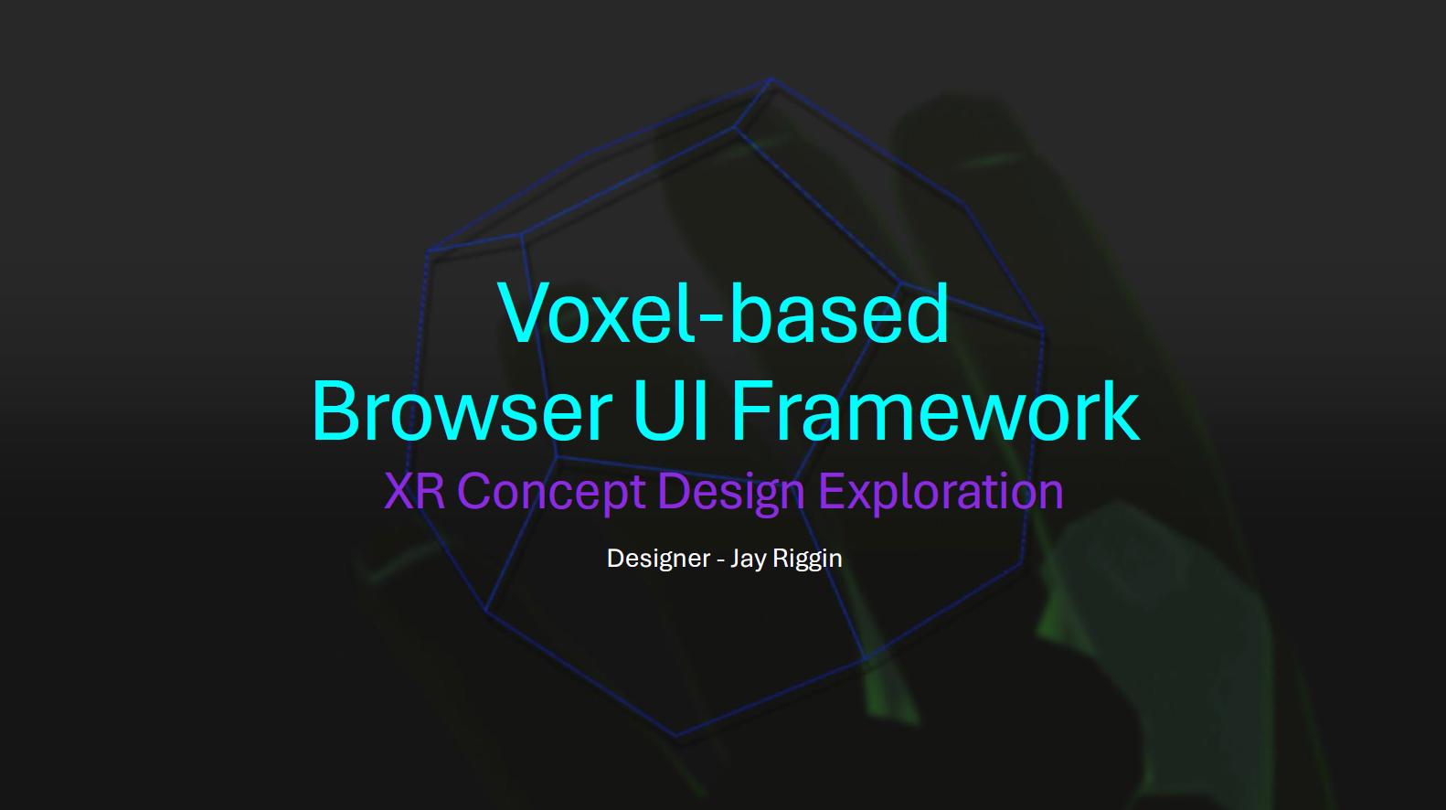
Presentation outlines a UX design exploration focused on reimagining file browsing interfaces for extended reality (XR, MR, AR, VR) environments, particularly for hand and eye-controlled interactions.
(Presentation | Video)
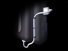
Instructional video installation guide for new product pilot<
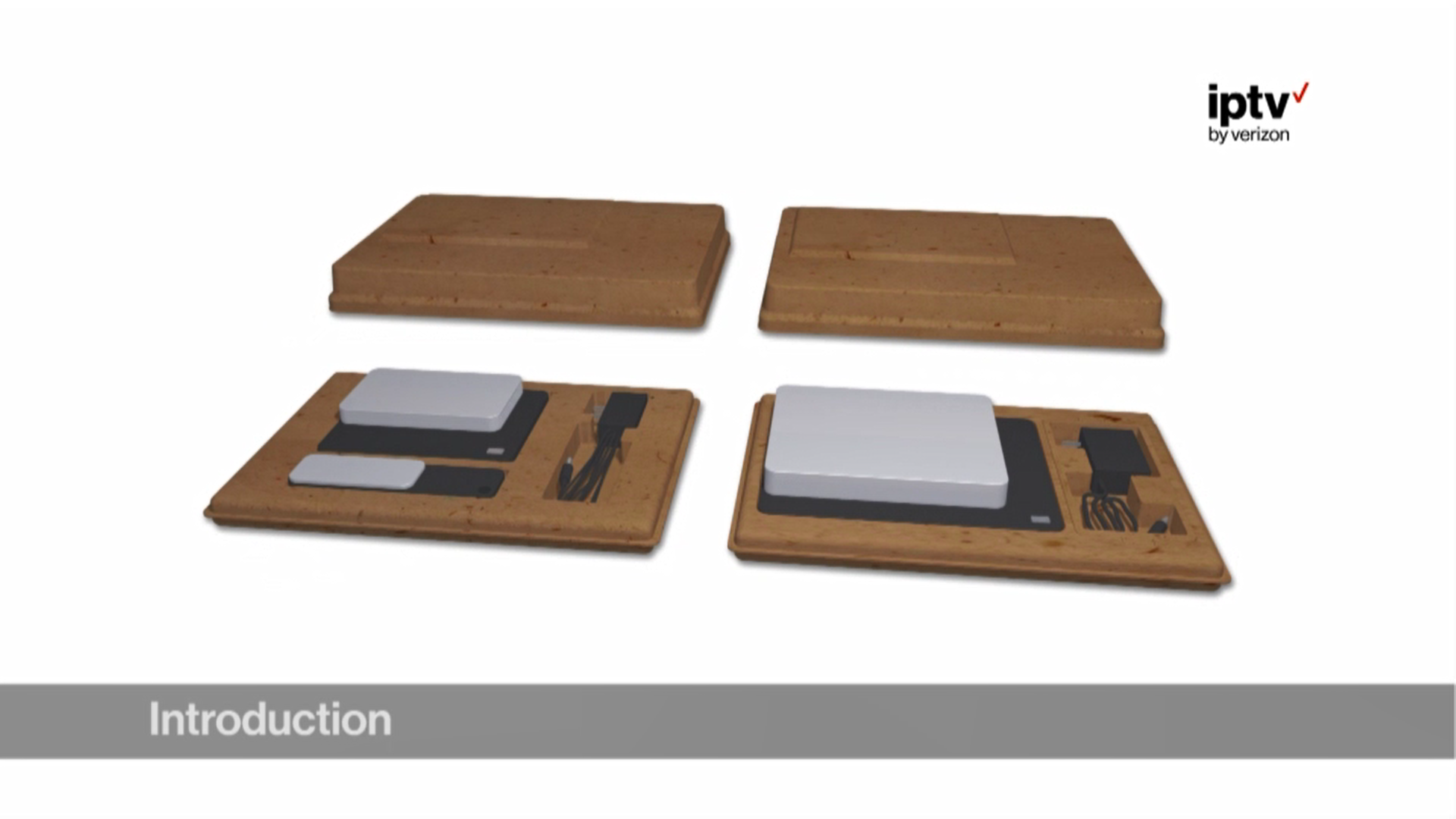
Delivered via interactive mobile app product guide.
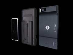
Mobile Butane Charger & Carry Case Concept


Hi-Fidelity Product Exploration